

The Gently Mad Book Shop
John Thomson : The Atlas of Scotland Containing Maps of Each County : Slipcased
John Thomson : The Atlas of Scotland Containing Maps of Each County : Slipcased
Couldn't load pickup availability
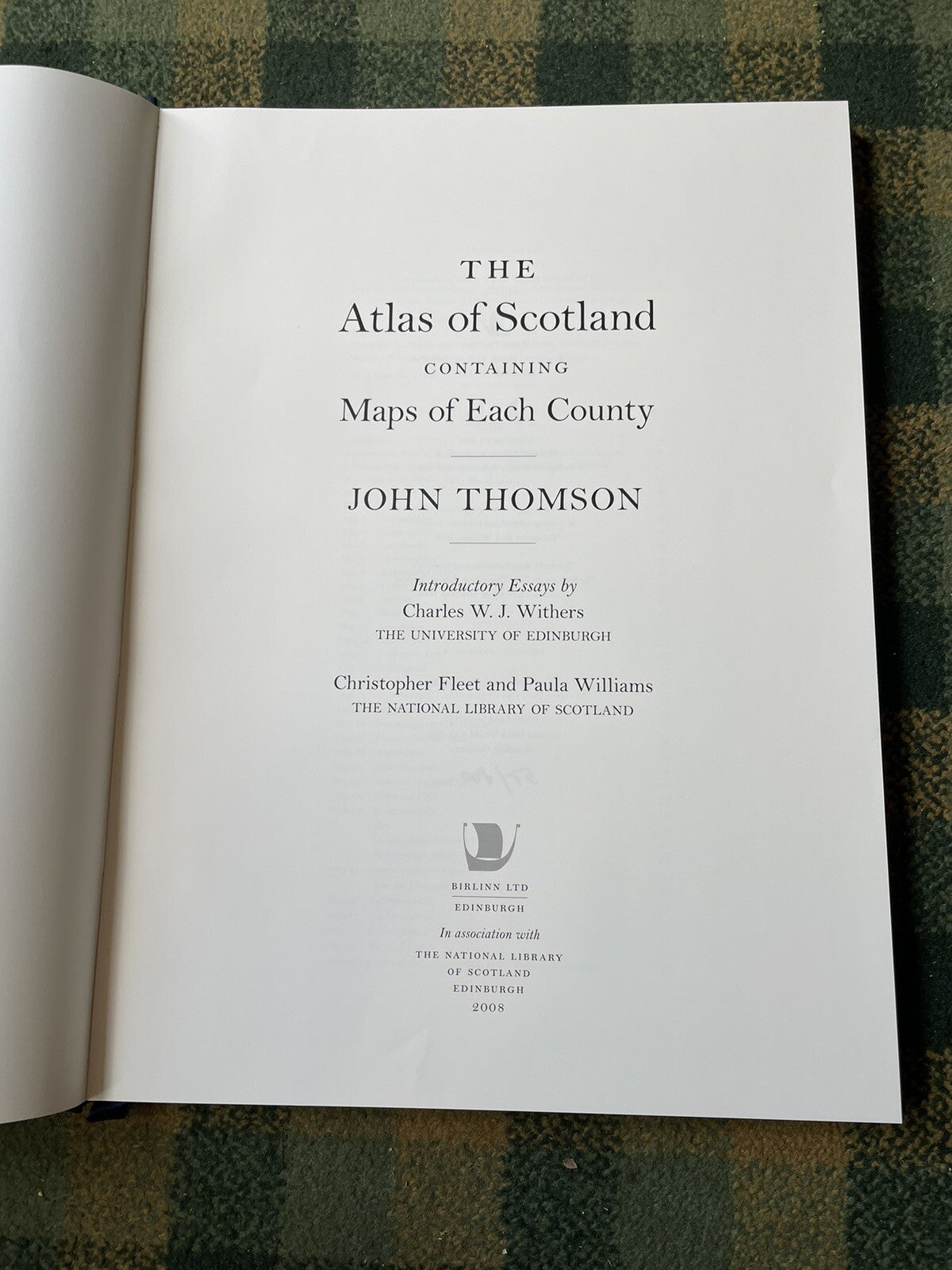
The Atlas of Scotland Containing Maps of Each County
By John Thomson
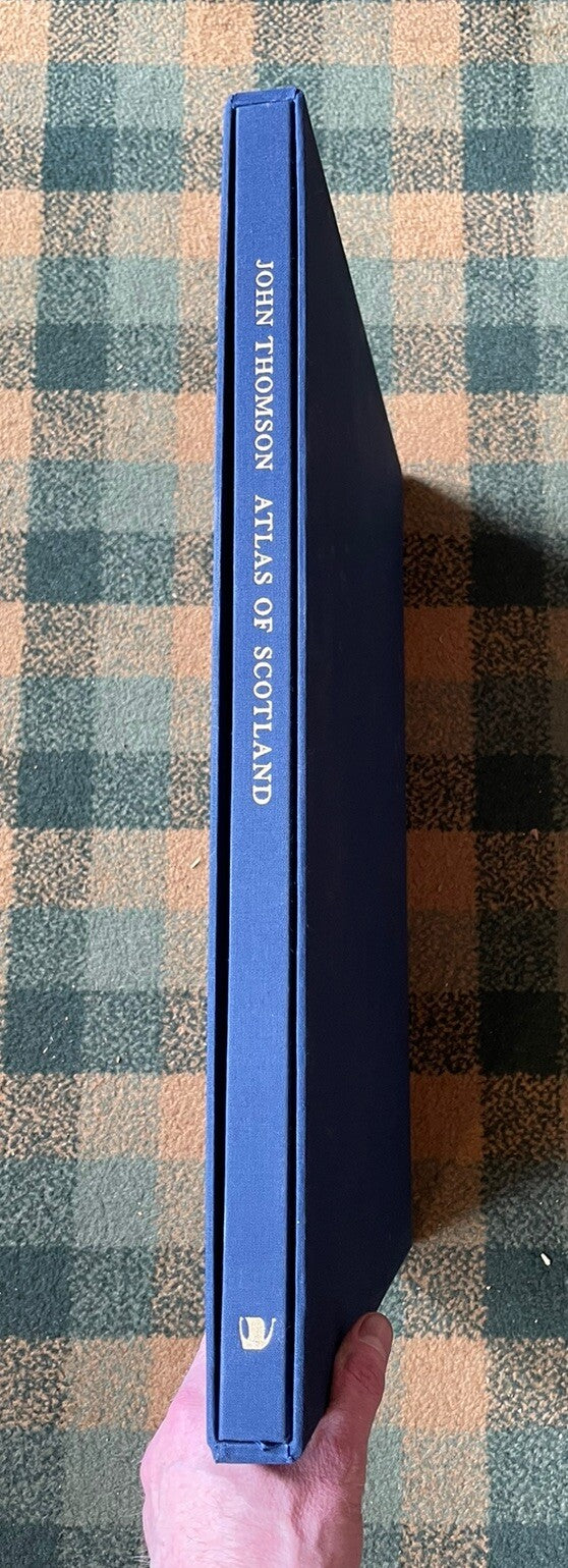
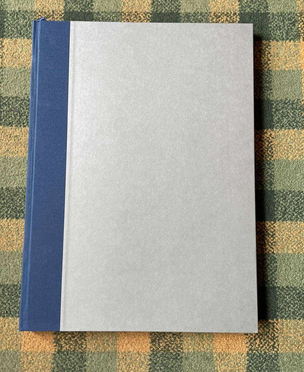
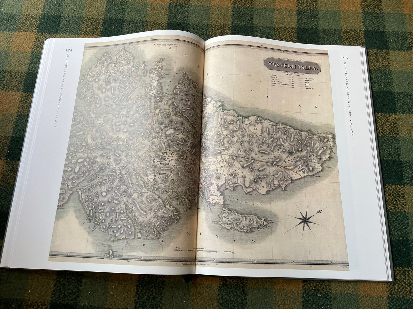
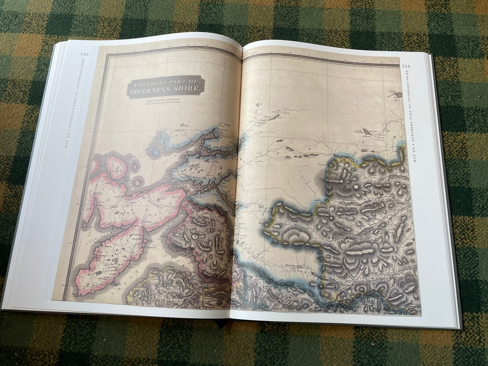
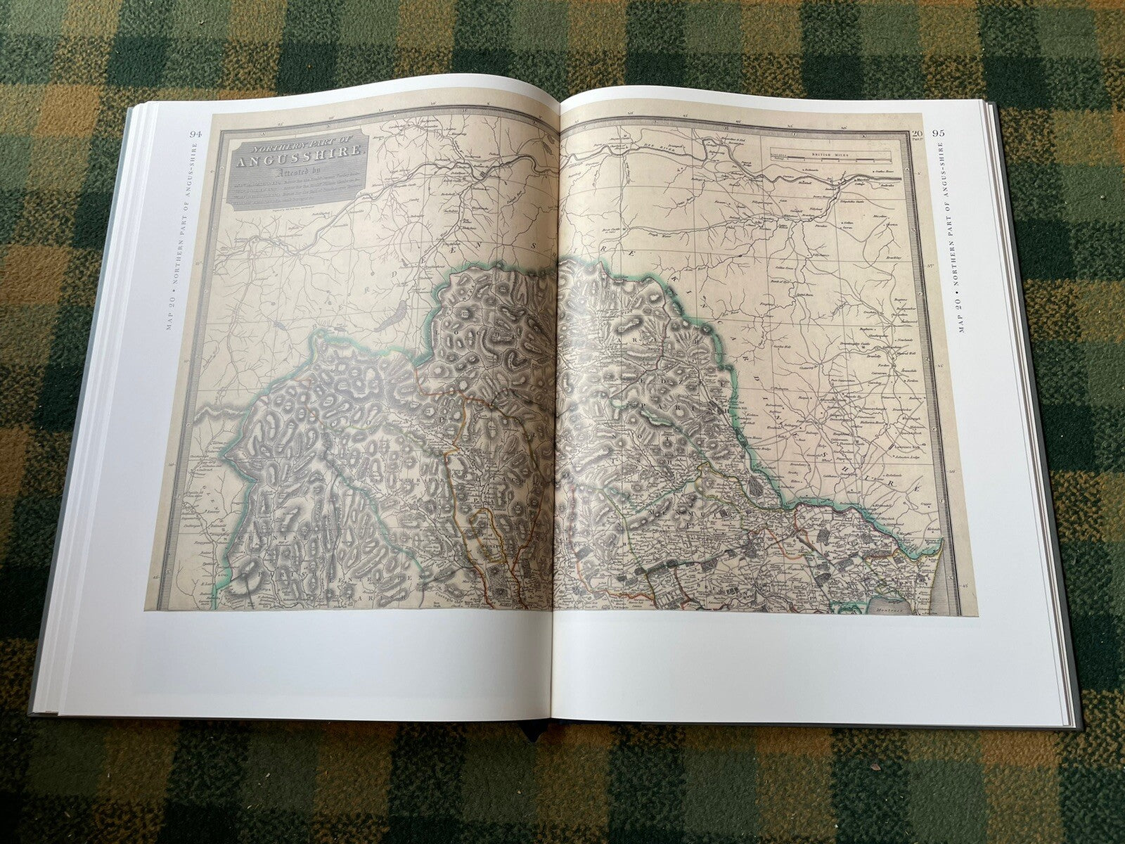
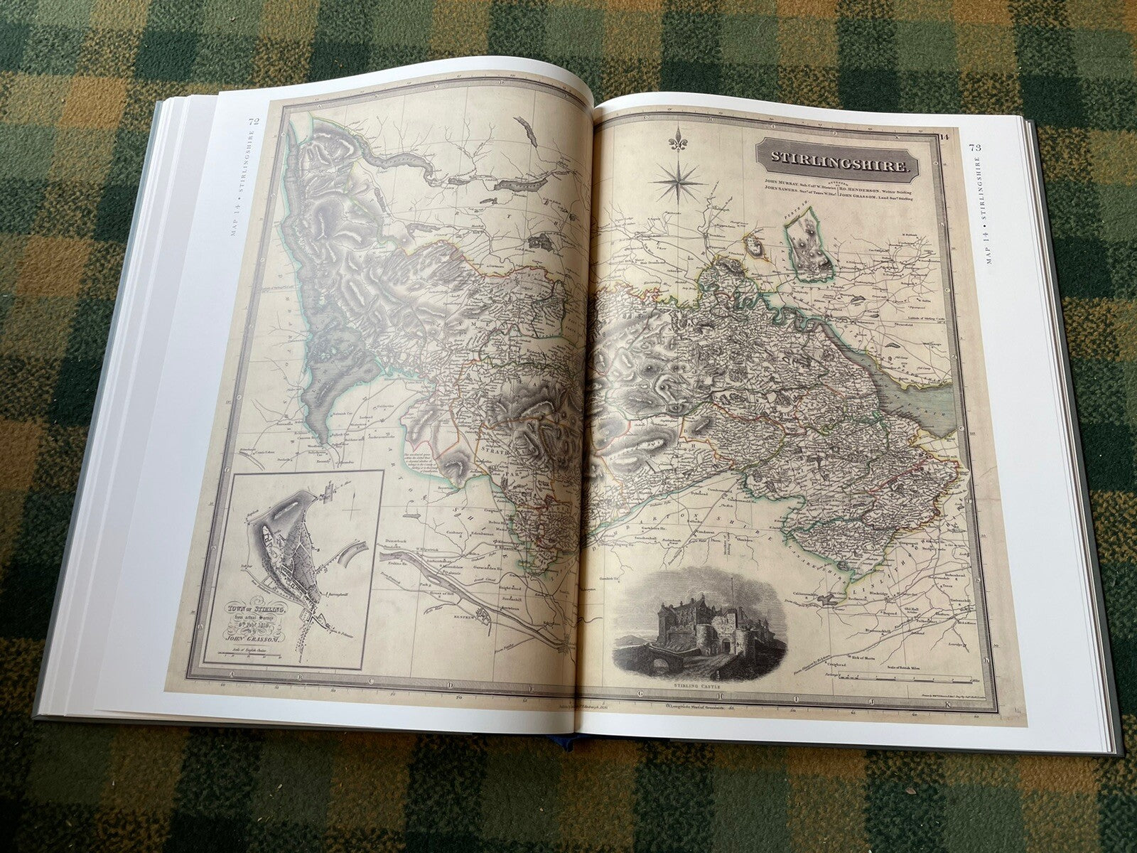
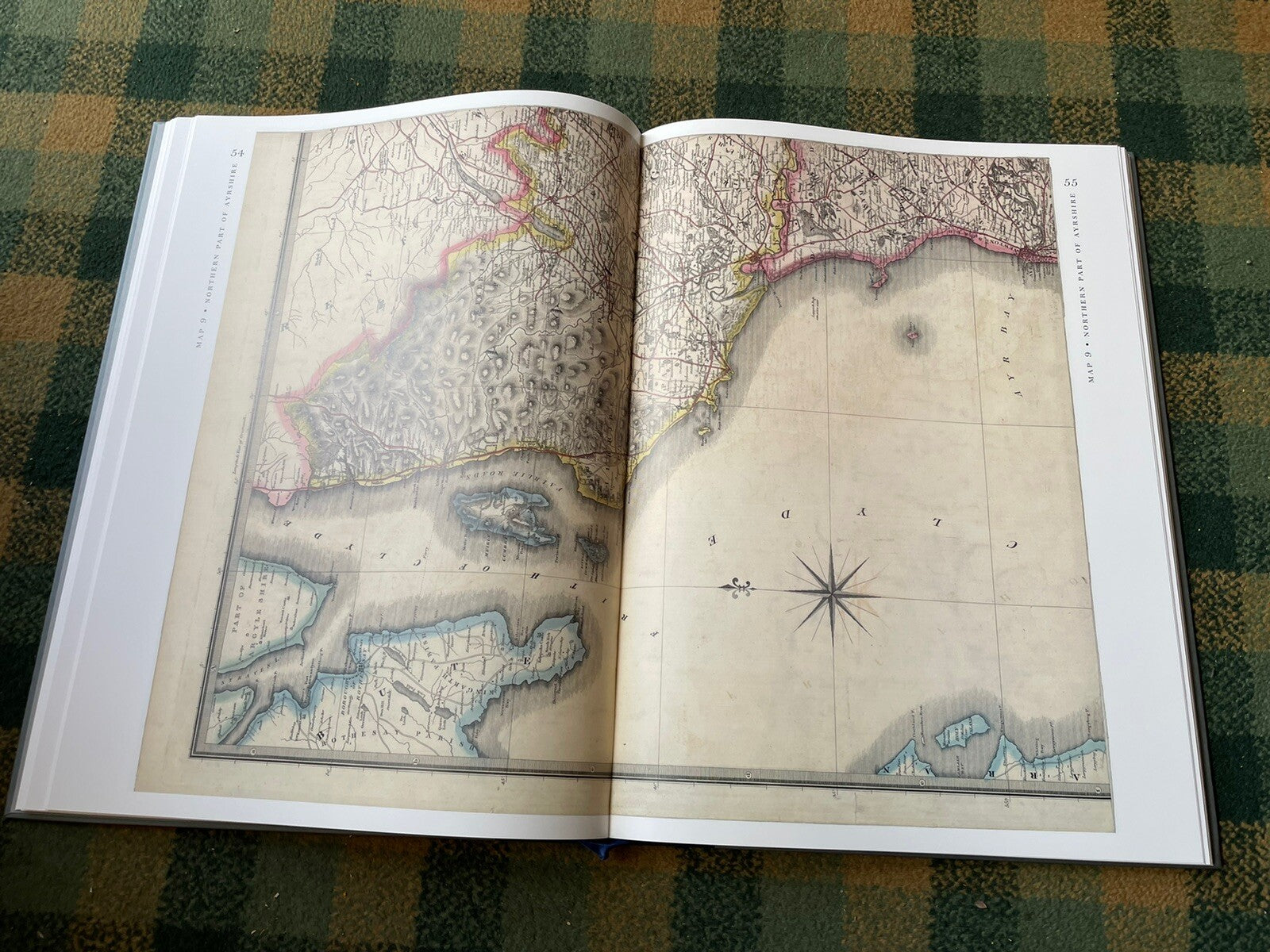
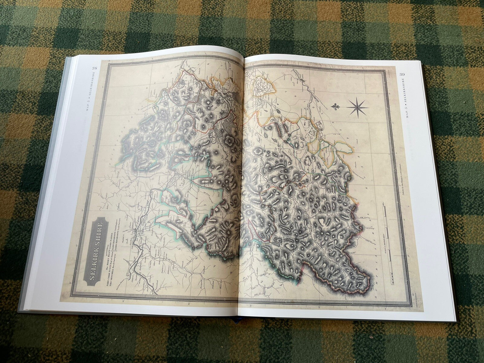
Published by Berlinn Limited, 2008. Limited Edition of 800 copies of which this is copy 57. Large heavy book that measures 49.5 x 36.5 cm. Book comes with a plain blue cloth slipcase as issued. Plain endpapers. With 23 + 8 pages of introductory text followed by 29 double-page county maps in colour.
CONDITION
A very good clean copy throughout. No damge, marks, writing or names to the book Slipcase also very good. Overall very good.
John Thomson was born in 1777 to a merchant father in Edinburgh. He started business as a bookseller in Hunter Square, Edinburgh, in 1807. His first major publication was the ‘Traveller’s Guide’ of 1798 which ran to nine editions. ‘A New General Atlas’ was a superb folio production issued in 1817 and again successful with several later editions. Buoyed by this success he set about the production of a Scottish county atlas. It was to be on the largest scale attempted yet with the exception of one or two in Joan Blaeu’s atlas of 1654. A prospectus was issued in 1818 and quickly the number of subscribers passed 1,200.
Thomson produced his maps by utilising existing work in many cases and increasing the scale. He then used land surveyors and local people to amend and add to the maps. The map of Edinburgh uses the same plates as the James Knox of 1812 with some alterations. For that of Ayrshire a new survey was undertaken by William Johnson who spent three summers studying local material. The land surveyor Alexander Martin spent the years 1822-26 working on Fife, Sutherland was freshly surveyed at the expense of the Countess of Sutherland and Bute was surveyed by John MacKinlay.


