


The Gently Mad Book Shop
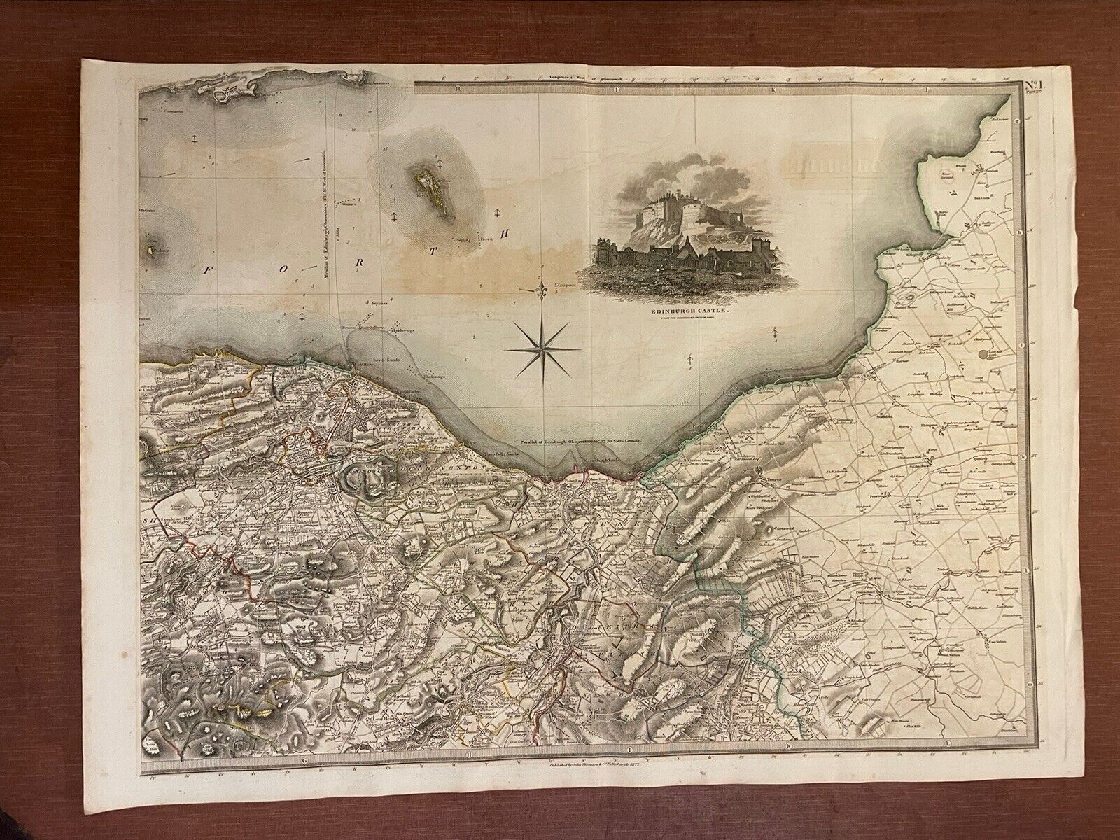
1822 Map EDINBURGH SHORELINE Thomson ATLAS of SCOTLAND Port of Leith PORTOBELLO
1822 Map EDINBURGH SHORELINE Thomson ATLAS of SCOTLAND Port of Leith PORTOBELLO
Couldn't load pickup availability
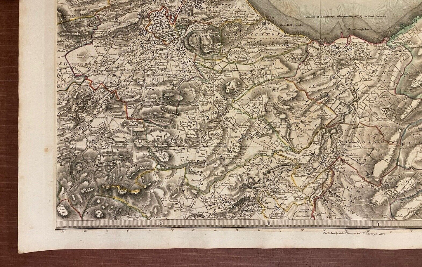
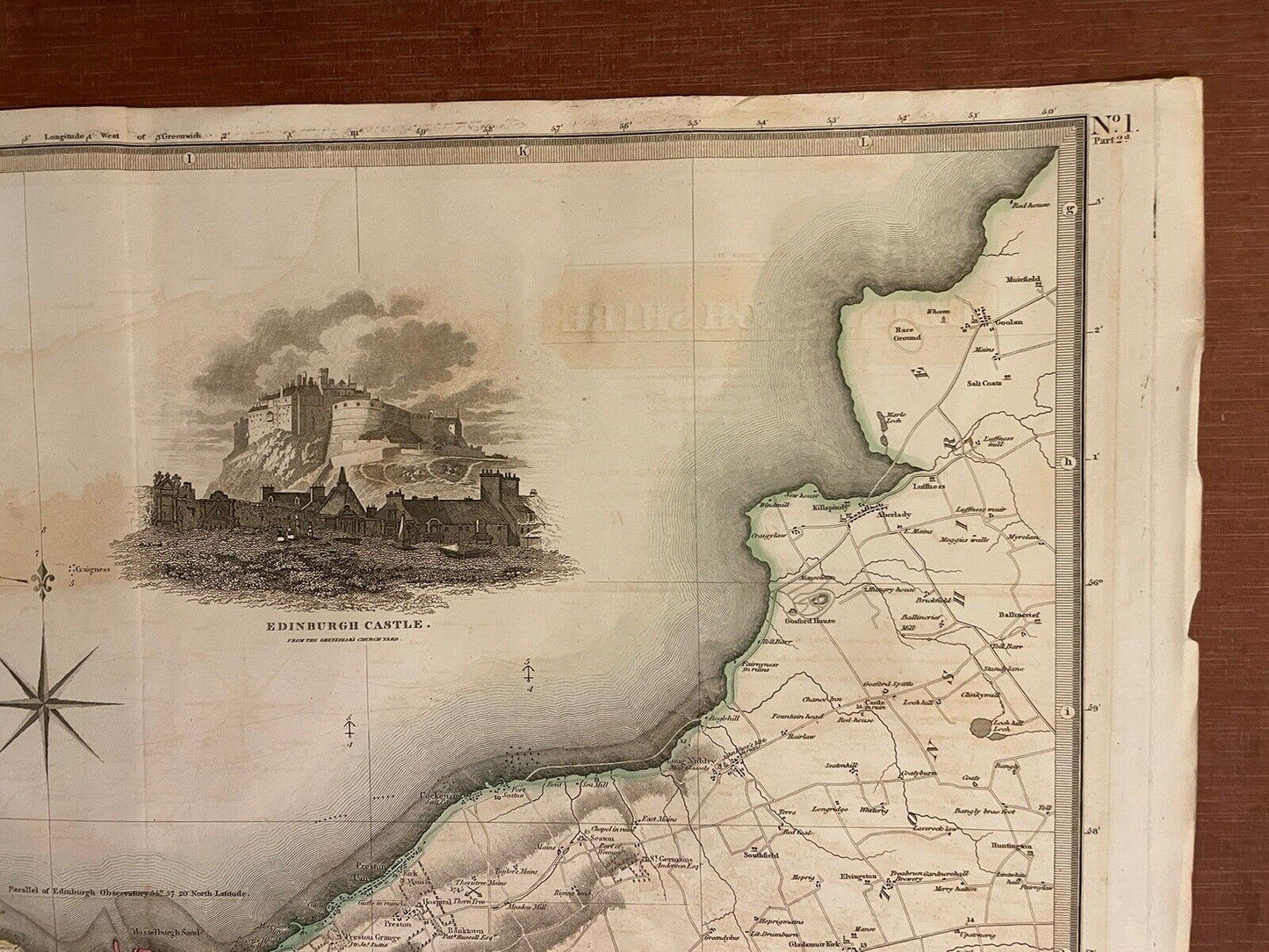
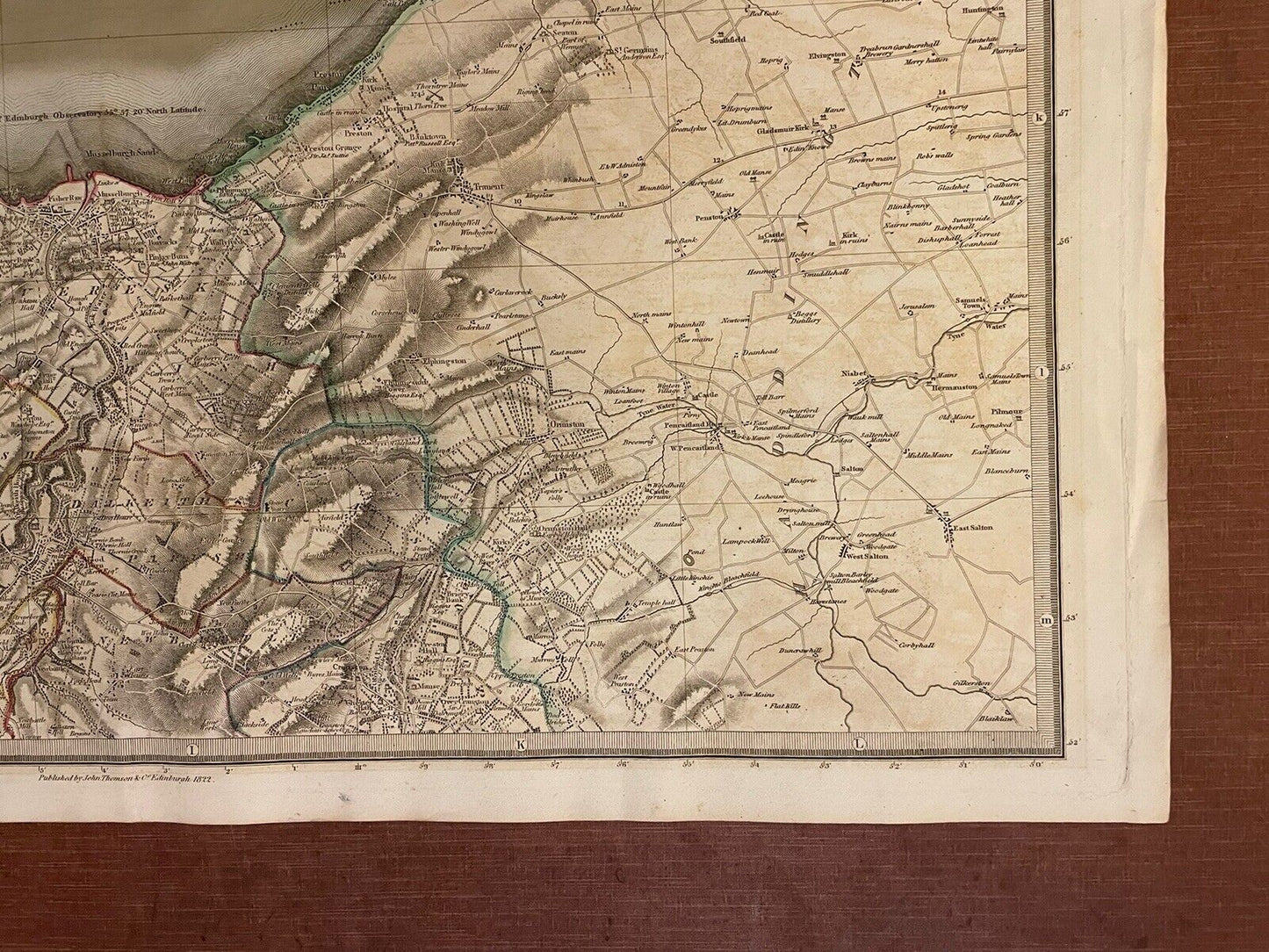
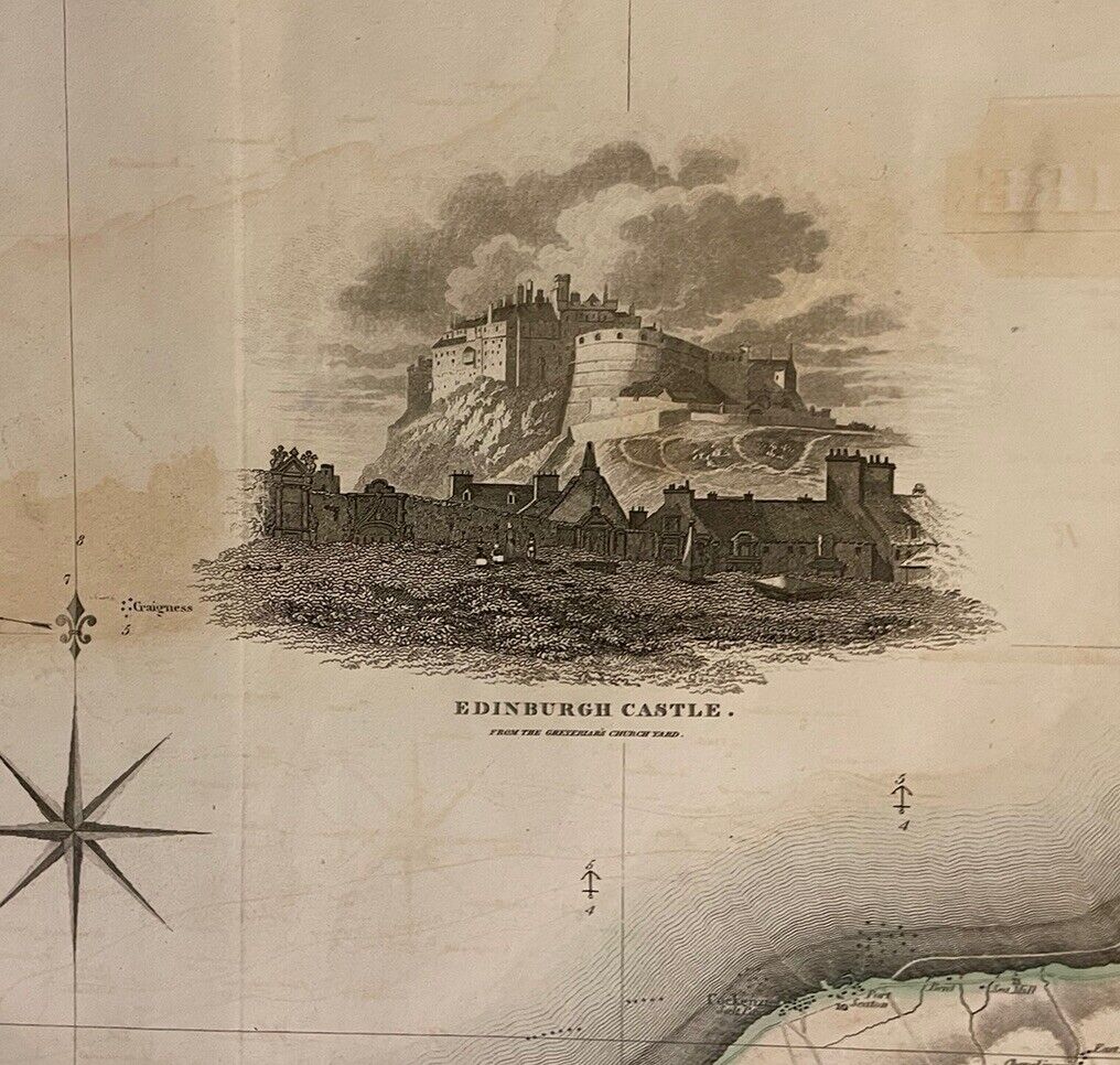
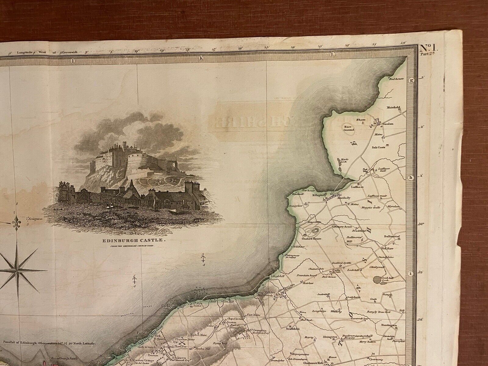
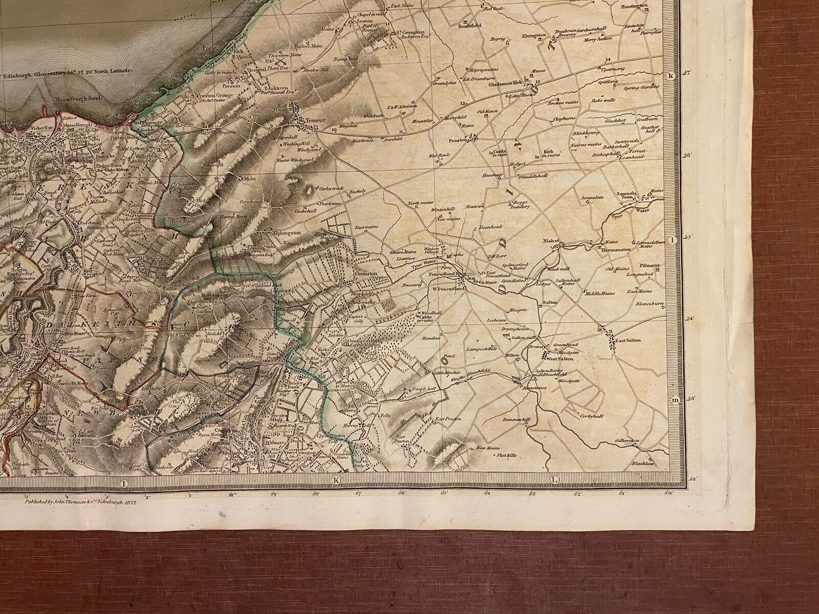
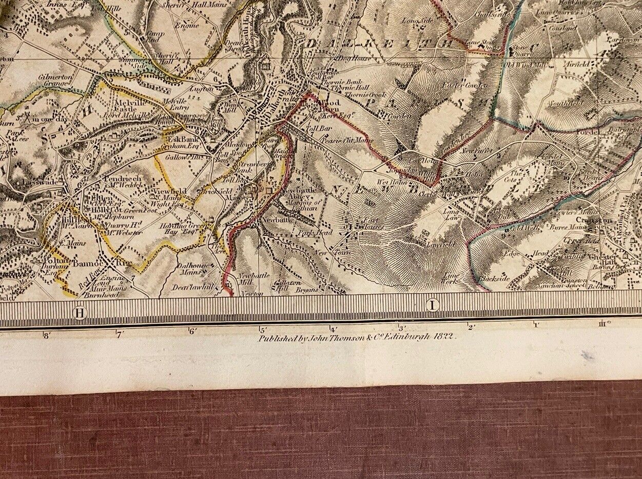
Original and Antique Map of Edinburgh's Shoreline, Scotland (1822)
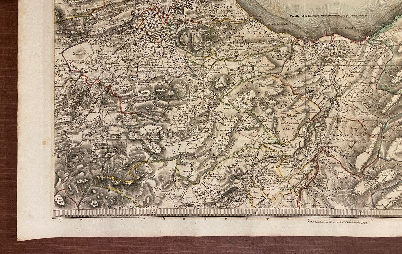
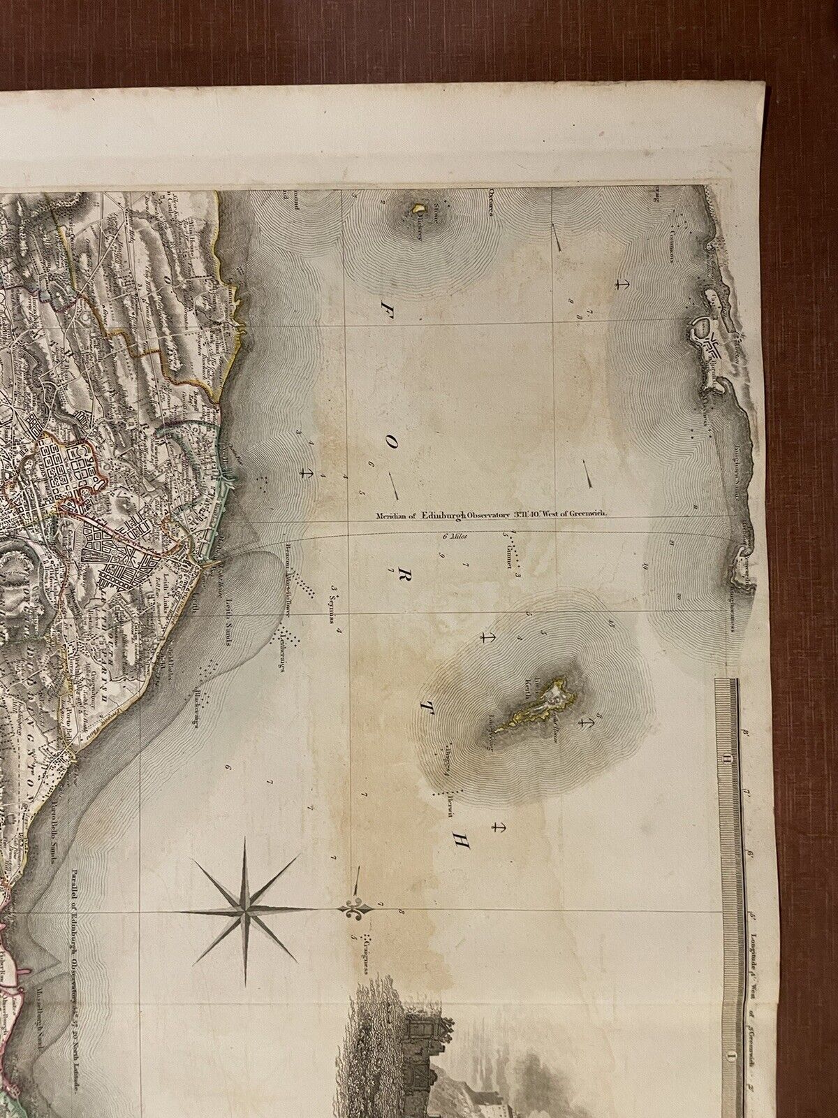
This large antique county map by John Thomson was produced for The Atlas of Scotland and is dated 1822.
It is engraved and is hand-coloured in outline. Includes a vignette of Edinburgh Castle. The size of this map is 29 inches x 22 inches (735mm x 560mm)
CONDITION
In good condition as can be seen in the images provided. No tears or stains. Just a faint brown spot to the left margin. Light offsetting to the left of the castle. Overall very good.
PLEASE NOTE: This map will be safely rolled and posted in a strong cardboard tube.
John Thomson (c. 1777 – c. 1840) was a Scottish cartographer from Edinburgh, celebrated for his 1817 New General Atlas, published by himself in Edinburgh, John Cumming in Dublin, and Baldwin, Cradock, and Joy in London.
(Loc : Map folder)