
The Gently Mad Book Shop
1720 Map : Copper Engraving : Germany : The Rhine : Baden : Black Forest
1720 Map : Copper Engraving : Germany : The Rhine : Baden : Black Forest
Couldn't load pickup availability
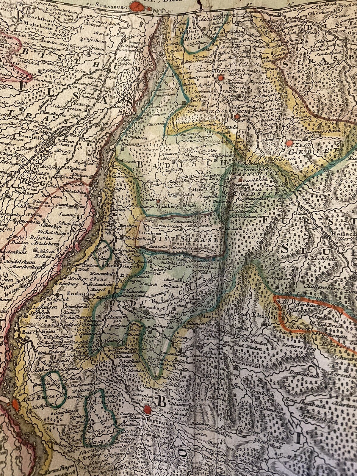
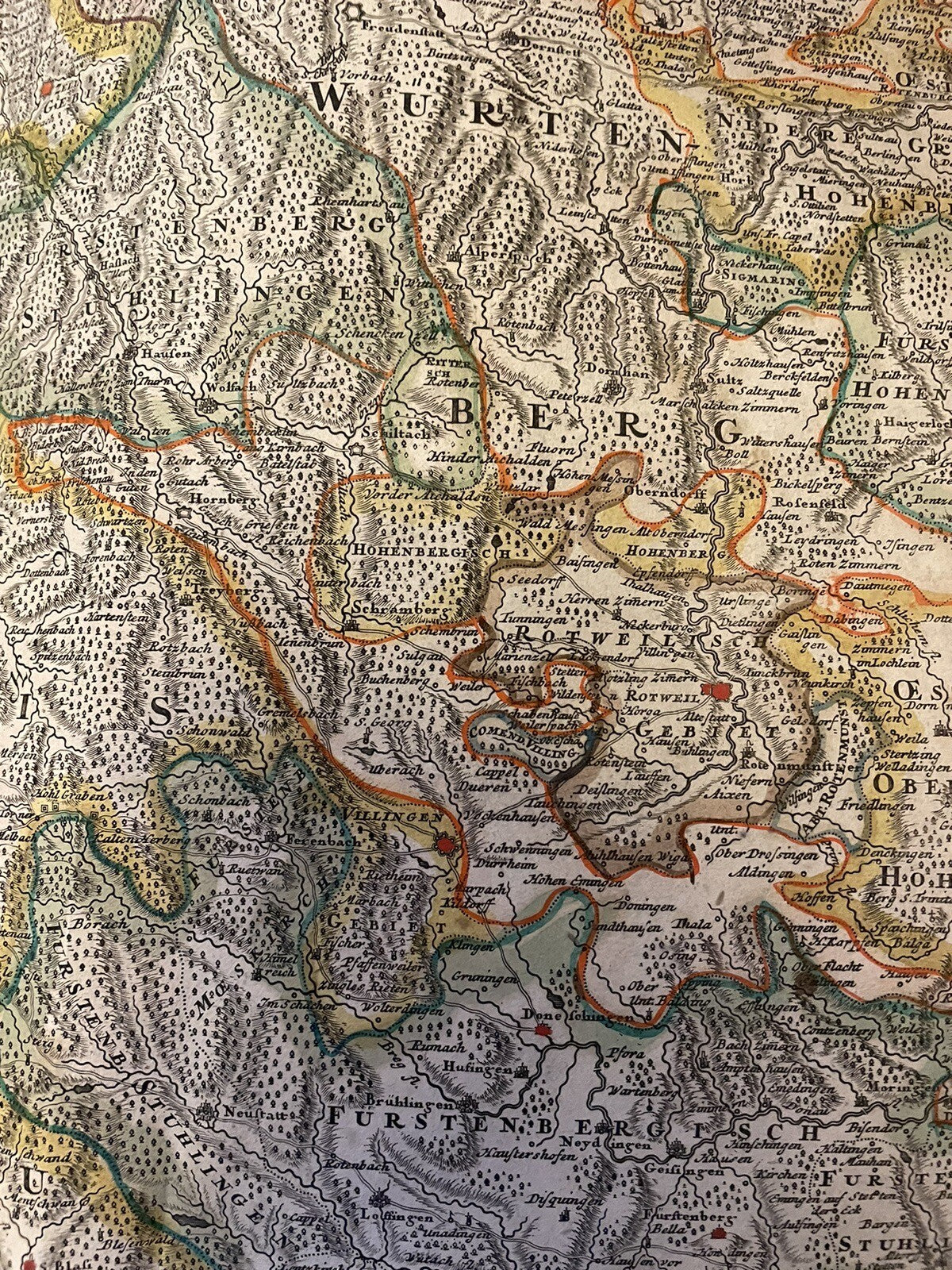
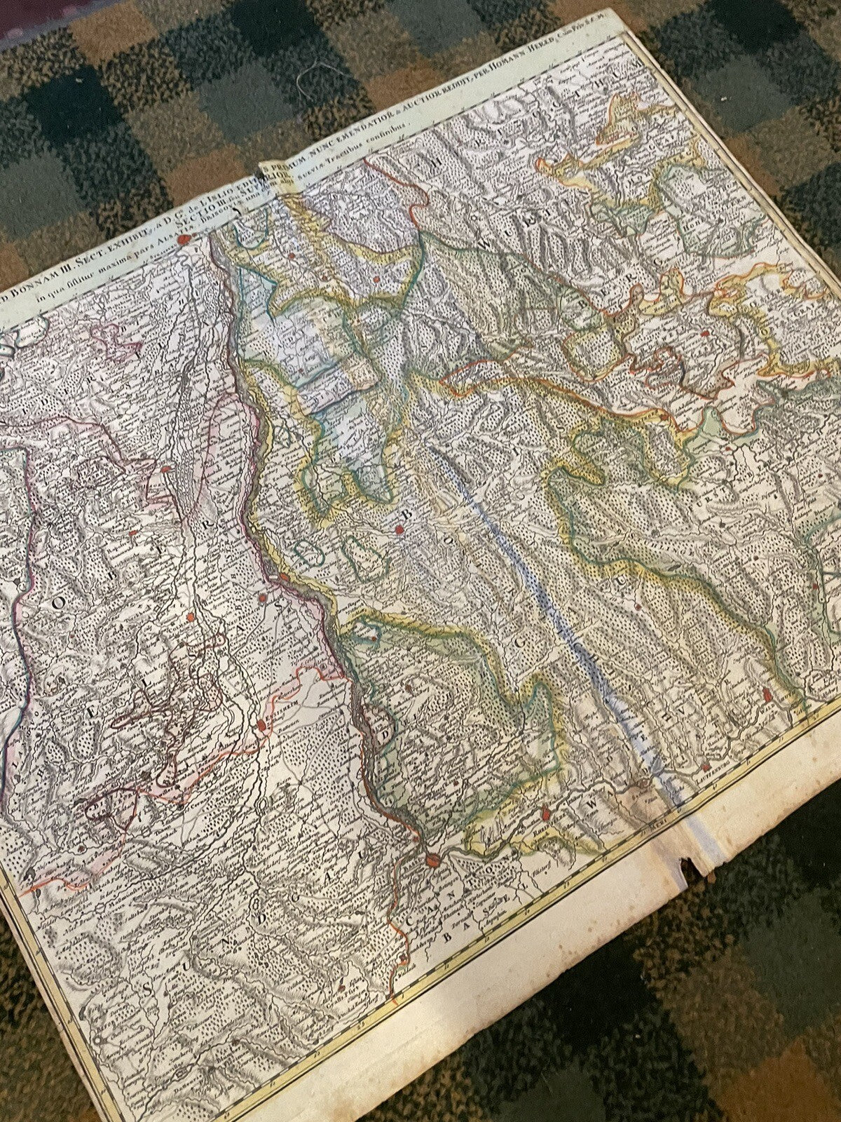
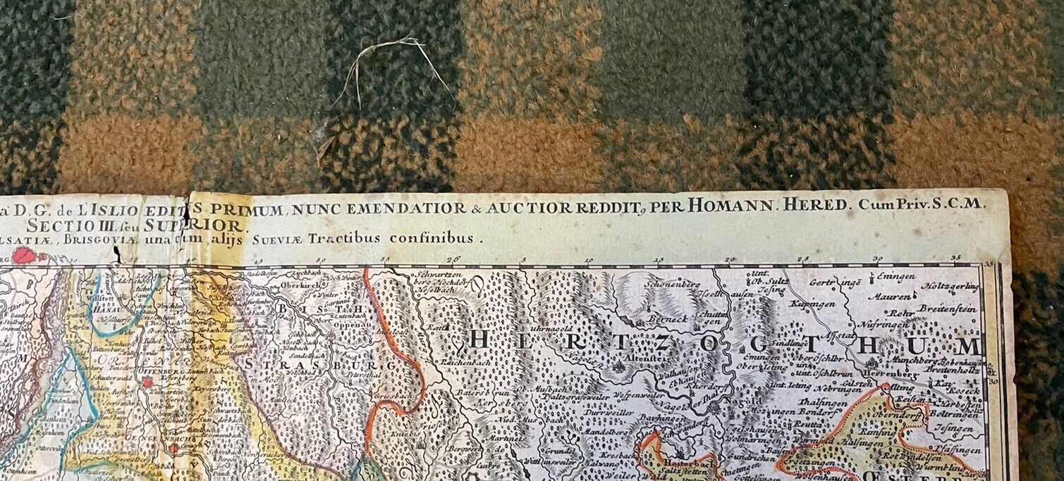
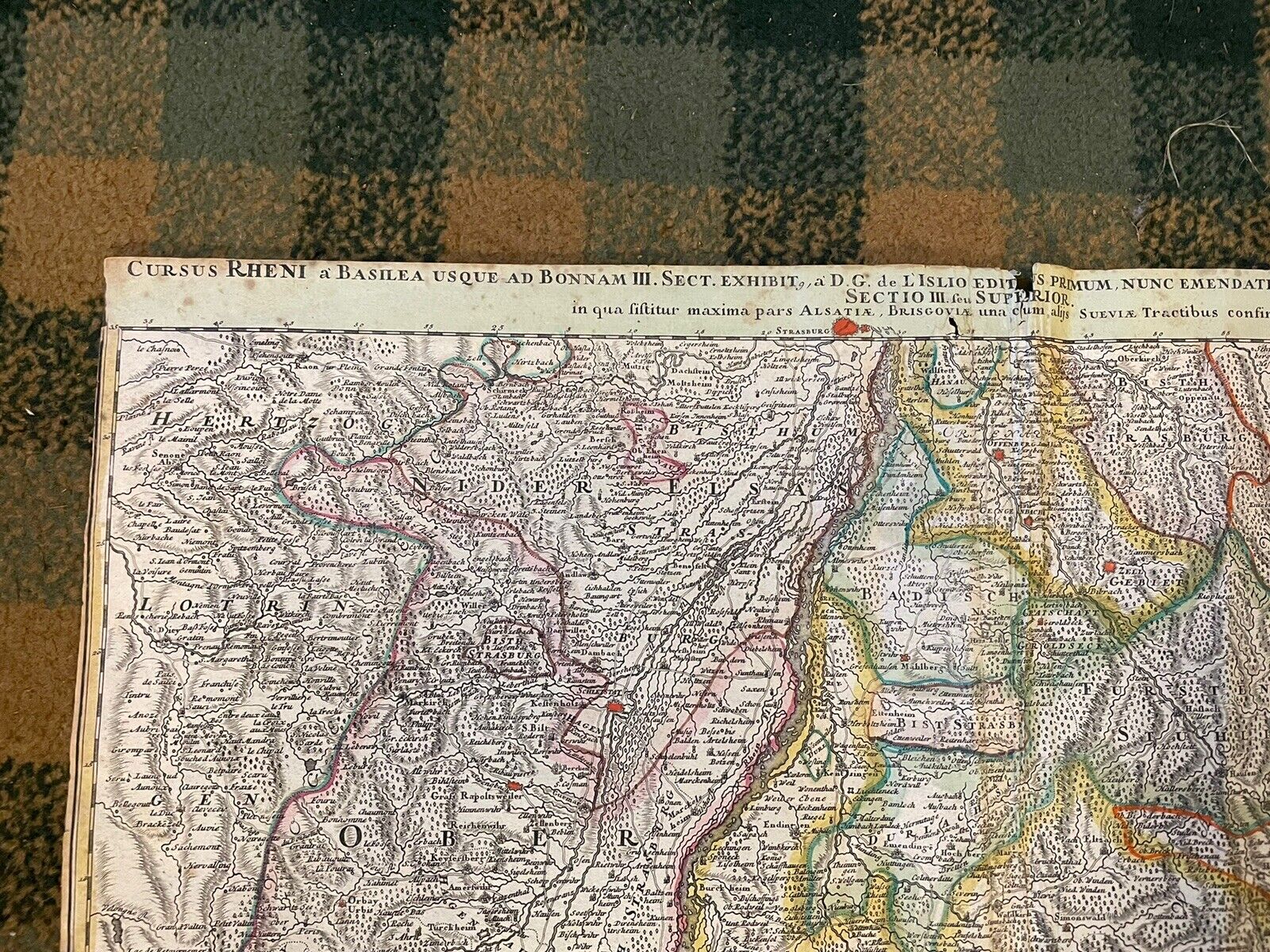
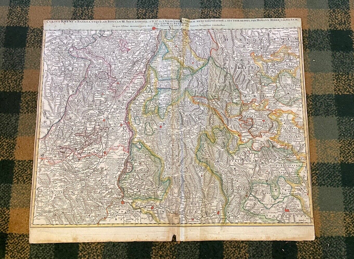
Cursus Rheni á Basilea usque ad Bonnam III. Sect. Exhibit, a D.G. de L Islio Editus Primum, Nunc Emendatior & Auctior Reddit, per Homann. Hered. Cum Priv. S.C.M. in qua sistitur maxima pars Alsatiae, Brisgoviae una cum alijs Sueviae Tractibus consinibus
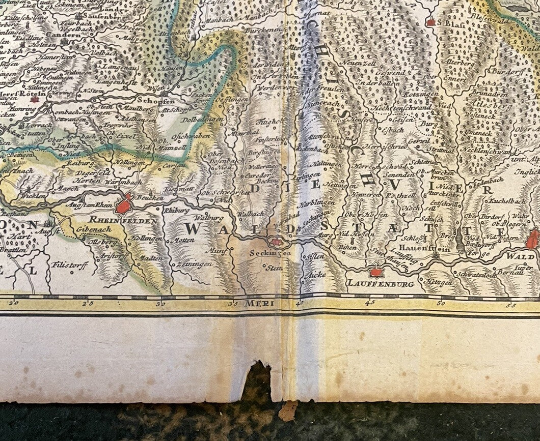
For sale we have an original antique copper engraving, hand coloured in outline and wash when published. Large scale map showing the section of the river Rhine from Waldshut towards Basel across Neu-Breisach towards Straßburg. The map also shows parts of Baden with the Black Forest and the neighboring Elsaß in the West and the duchy of Würtemberg in the eastern part of the map. An interesting map with many details.
Publisher: Homann, Nürnberg
Publication Date: 1720
Size : 470 by 607mm (18 by 24 inches)
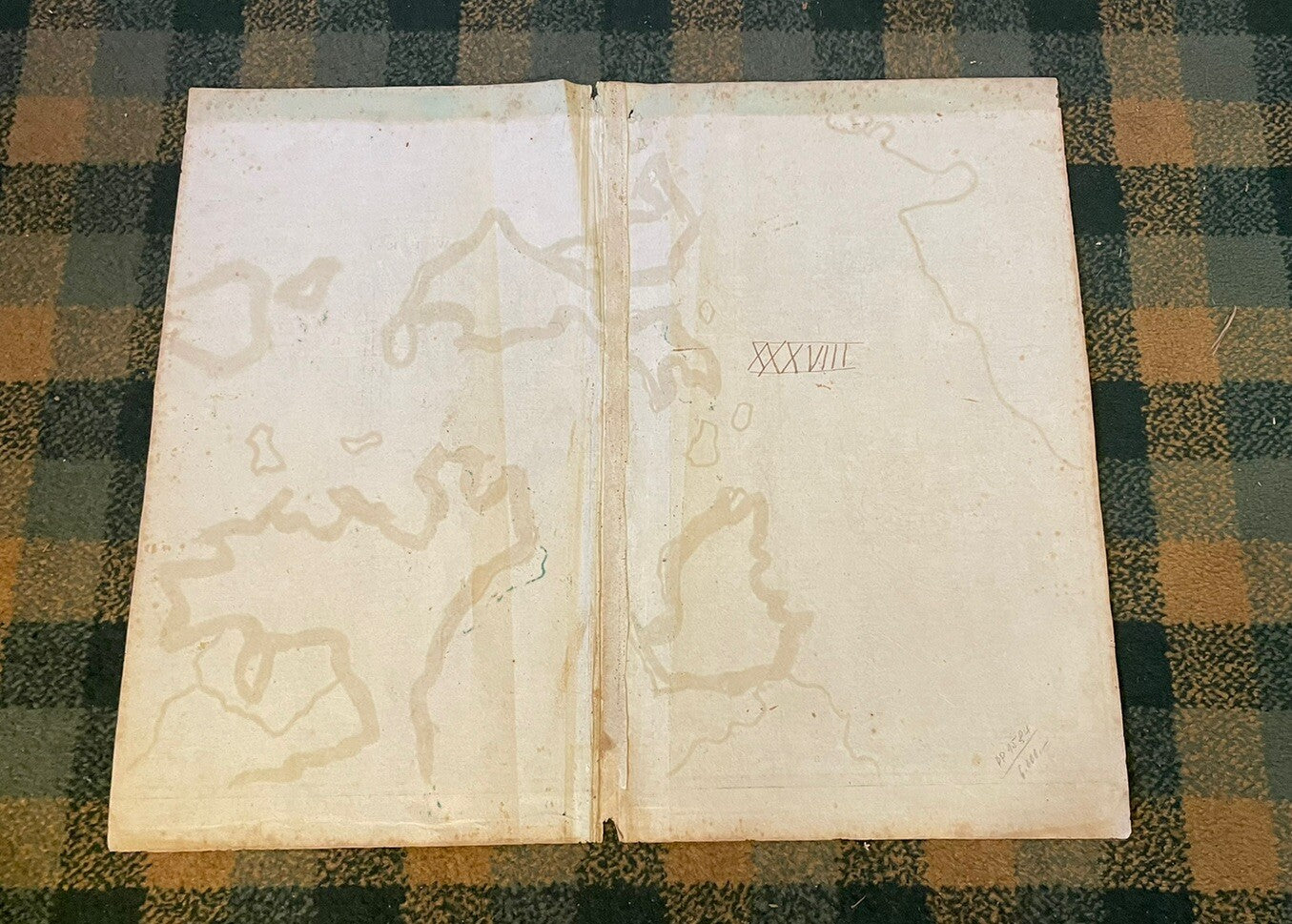
In good condition with a centre fold. some creasing down the fold but could be flattened. Small piece missing from the bottom margin.
Will be sent rolled safely in a stiff cardboard tube.